A smooth, 14-mile northbound drive along U.S. Route 67 from Walnut Ridge to Pocahontas, Arkansas, showcasing Delta farmland, emerging Ozark foothills, and key regional junctions including U.S. 412 and U.S. 62.
![U.S. Route 67: Walnut Ridge to Pocahontas [Revisited]](https://www.openroadarchive.com/wp-content/uploads/2025/12/rrtoxrmakrumaxresdefault.jpg)
Explore U.S. Route 67, a historic north-south highway connecting Texas to Iowa. Learn about its major cities, scenic drives, and future upgrades along this essential travel corridor.
U.S. Route 67 is a major north–south United States highway that stretches over 1,560 miles from the U.S.-Mexico border in Presidio, Texas, to Sabula, Iowa, where it intersects U.S. Route 52. This route serves as a vital corridor connecting the arid Southwest with the Midwest, cutting across diverse terrains, from desert landscapes to rolling farmland and busy metropolitan areas.
In Texas, US 67 begins at the international bridge in Presidio and travels northeast through West Texas cities like Alpine, San Angelo, and Dallas. It shares alignments with major highways like I-10 and I-35 at various points. As it moves into Arkansas, US 67 becomes a key expressway corridor paralleling Interstate 30 and serving as a major route between Texarkana and Little Rock. Notably, parts of this highway in Arkansas are being upgraded to interstate standards and have become part of the Interstate 57 extension.
Continuing northward, US 67 crosses the Mississippi River into Missouri via the Bill Emerson Memorial Bridge and traverses southeast Missouri, intersecting with major routes such as US 60 and US 61. In Illinois and Iowa, the route winds through scenic river towns and agricultural communities before reaching its terminus in Sabula. Along its journey, US 67 supports both regional commerce and tourism, offering travelers access to historic sites, natural landmarks, and urban centers.
A smooth, 14-mile northbound drive along U.S. Route 67 from Walnut Ridge to Pocahontas, Arkansas, showcasing Delta farmland, emerging Ozark foothills, and key regional junctions including U.S. 412 and U.S. 62.
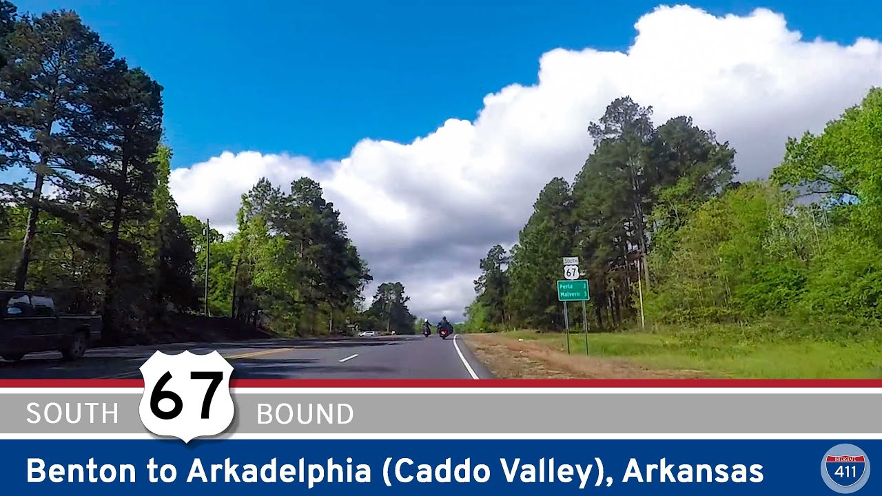
Cruise 40 miles down U.S. Highway 67 from Benton to Caddo Valley, Arkansas. This classic old highway connects small towns, farmland, and pine forests, showcasing a nostalgic slice of southern Arkansas travel.
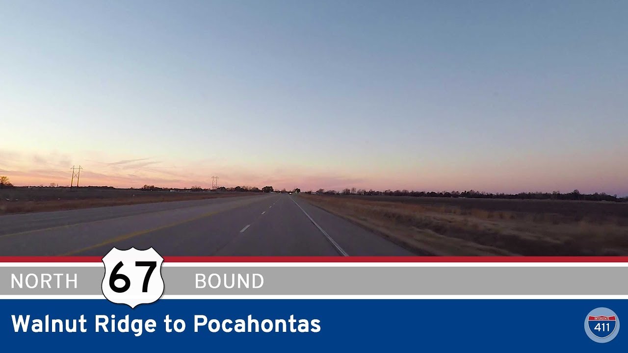
Take a peaceful ride along US-67 from Walnut Ridge to Pocahontas, Arkansas. This 13-mile drive through farmland and industry ends in a historic Ozark gateway town full of rural charm and local heritage.
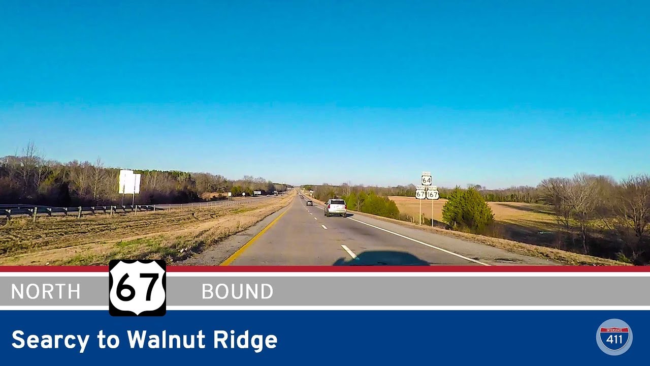
Take a scenic ride through the Arkansas Delta along the newly designated Interstate 57 from Searcy to Walnut Ridge. This 79-mile route traces former U.S. 67, passing through Judsonia, Bald Knob, Newport, and Hoxie, and crossing key rivers and agricultural lands.

Take a scenic drive along U.S. Route 67 from Pocahontas to Walnut Ridge, Arkansas. This 13-mile journey reveals the transition from small-town roads to modern divided highway, with views of farmland, historic towns, and the roots of future I-57.
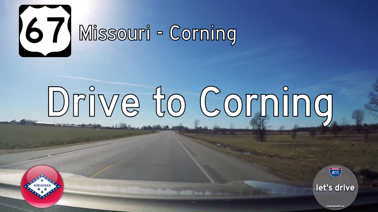
Take a short but vital drive down U.S. Route 67 from the Missouri State Line to Corning, Arkansas. Explore the agricultural landscape, regional infrastructure, and community connections that define this 7-mile stretch in Clay County.

Drive 22 miles south along U.S. Route 67 from Poplar Bluff, Missouri, to the Arkansas state line. Explore this fast, modern corridor through rural farmland and small towns like Neelyville on Missouri’s Bootheel.