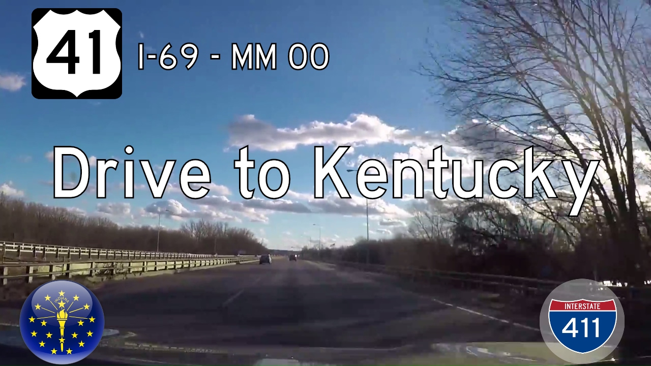
Take a leisurely ride through the lowland river country of western Kentucky as we follow U.S. Route 41 south from the Indiana border to Interstate 69 in Henderson. This brief yet memorable stretch along the historic north-south corridor crosses the mighty Ohio River before transitioning from bustling river town to modern interstate highway, carrying with it layers of Kentucky’s transportation history.
We begin our journey just north of Henderson, where U.S. 41 crosses the Ohio River via the Bi-State Vietnam Gold Star Twin Bridges—often simply called the Twin Bridges. As we glide south across the broad, flowing river, the view stretches westward over the backwaters and islands of the Ohio, providing a grand entrance into the Bluegrass State. The bridges themselves have become a regional landmark, carrying travelers between Indiana and Kentucky since the 1930s and 1960s respectively, with the southbound bridge added later to handle growing traffic demands. As we reach the south banks, the road gently sweeps into the city limits of Henderson, a town steeped in river commerce and the birthplace of blues legend W.C. Handy.
Once in town, U.S. 41 adopts the character of a traditional American highway, bordered by a mix of mid-century commercial strips, small industrial hubs, and local neighborhoods. Quickly, we encounter the interchange with U.S. 60, offering routes westward toward Morganfield or eastward toward Owensboro. From here, U.S. 41 transitions into the former Pennyrile Parkway, a name that resonates with long-time locals. Opened in the 1970s, the Pennyrile Parkway was part of Kentucky’s ambitious parkway system, initially constructed as a tolled highway connecting rural western Kentucky to the interstate network. As we continue southbound, the road retains much of its limited-access character, offering a smooth ride flanked by tree lines, occasional billboards, and glimpses of the agricultural landscape just beyond the town’s limits.
Leaving behind the town proper, U.S. 41 continues southward, transitioning from surface street into a limited-access highway that was long known as the Pennyrile Parkway. At the time of filming, just after the U.S. 60 interchange, U.S. 41 swung south and seamlessly merged onto the parkway without the modern interchange structures seen today. Recent construction tied to the expansion of Interstate 69 has since transformed this area. A new trumpet interchange now connects U.S. 41 directly with I-69, with traffic rerouted southbound as the northern segment remains unfinished. Likewise, the crossing at KY-351, which in our video appears as a simple at-grade or signalized intersection, has since been upgraded into a full interstate-grade interchange under the I-69 corridor. Our drive ends at the interchange with the Audubon Parkway, which has also undergone modifications in the years following the original footage. The video offers a snapshot of the previous road configuration before the modern I-69 changes took hold, preserving a brief window into Kentucky’s evolving highway landscape.
Throughout the journey, we witness not only the shift in road designations but also the quiet persistence of Kentucky’s river heritage and evolving infrastructure. From the scenic sweep of the Ohio River to the modern lanes of I-69, U.S. Route 41 in Henderson serves as a microcosm of America’s transportation story—a route that still honors its past while adapting to the needs of the present.
🎵 Music:
Lazy Day by Audionautix is licensed under a Creative Commons Attribution license (https://creativecommons.org/licenses/by/4.0/)
Artist: http://audionautix.com/
🗺️ Route Map
0 Comments