Take a scenic ride through the heart of the Arkansas River Valley as we follow the winding curves of Arkansas Scenic Highway 7 from Fourche Junction to Russellville. This 24-mile drive offers a perfect blend of rural charm, natural beauty, and small-town flavor, delivering one of the state’s finest northbound journeys through the Ouachita foothills into the Arkansas River plain.
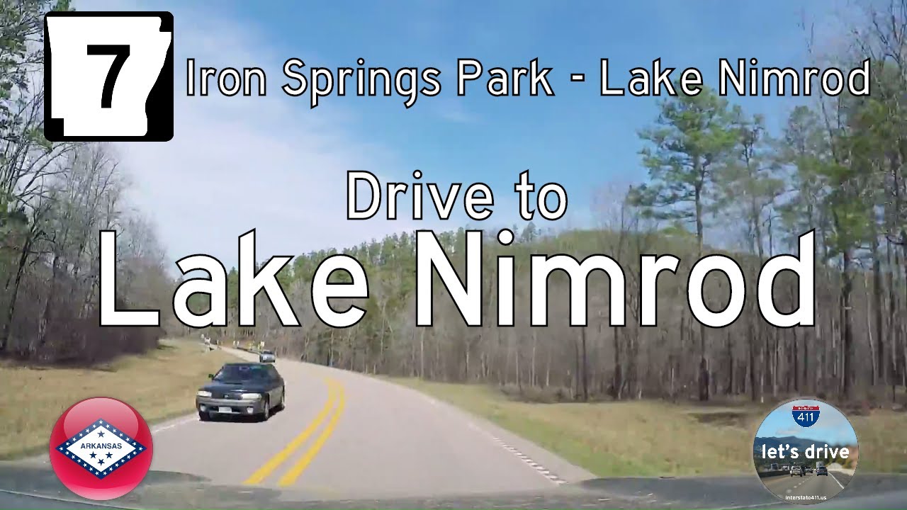
We begin just north of the River Road Recreational Area, merging back onto Highway 7 from the access road that leads to the Nimrod Dam and Lake Nimrod. Surrounded by the thick pines and mixed hardwoods of the Ouachita National Forest, the highway climbs gently as we approach the Yell County line. The road remains narrow and curvy through this stretch, with occasional glimpses of distant ridges and shimmering lake arms nestled in the valleys below. Just ahead, we reach a quiet intersection with Arkansas Highway 60—our first sign that we’re transitioning from wilderness into the rhythm of rural community life.
As we continue north, the landscape opens into farmland and pastureland as we enter the town of Ola. This quiet community is home to less than 1,200 residents, but it has a reputation in the area—most notably as a 🚨 speed trap 🚨. The highway briefly merges with Arkansas Highway 28 here, creating a small commercial corridor lined with gas stations, local shops, and weathered storefronts that speak to the town’s mid-20th century heyday. On the north end of Ola, Highway 7 runs concurrently with AR-10 for a short stretch before splitting again and continuing its northward course. As the town fades in the rearview, the Ozark ridges come into view once more, layered across the horizon like distant waves.
The terrain gradually flattens as we approach the Arkansas River and the city of Dardanelle, one of the oldest communities in the state. Founded in the early 1800s and rich with frontier history, Dardanelle now serves as a regional hub, with a picturesque courthouse square and a striking view of Mount Nebo rising just to the west. Highway 7 turns east here, joining with AR-22 for a brief urban stretch before making its most dramatic crossing: the Dardanelle-Russellville Bridge, a steel cantilever truss span over the wide Arkansas River. From the elevated deck, we’re treated to panoramic views of the waterway, flanked by distant hills and industrial structures—an iconic gateway into Russellville.
On the far side of the bridge, Highway 7 enters Pope County and dives straight into downtown Russellville, a thriving college town and commercial center nestled against the river’s north bank. As we descend from the bridge into the city, the road becomes South Arkansas Avenue, lined with a mix of historic buildings, modern businesses, and access to the nearby Arkansas Tech University. Our journey ends just north of Main Street, where the quiet scenic highway gives way to the urban pulse of central Arkansas life.
This stretch of Highway 7 is more than just a connector—it’s a visual and cultural cross-section of Arkansas itself. From the wild edges of the Ouachitas to the fertile river plains, it weaves together forest and farmland, history and hometowns. Whether you’re exploring the Ouachita National Forest, fishing at Lake Nimrod, or strolling the streets of Dardanelle and Russellville, this route reminds us that every mile has a story—sometimes whispered by the wind through the trees, and sometimes shouted across the span of a river.
🗺️ Route Map


0 Comments