Cruise 19 miles west along Arkansas Highway 10 from west Little Rock to Williams Junction. Enjoy peaceful drives beside Lake Maumelle, forested foothills, and connections to local recreation near the Ouachita Mountains.

Browse videos showcasing drives along rivers, lakes, and coastal areas, where water meets the road in scenic and serene settings.
The 🌊 Waterfront tag is used for routes, segments, or destinations that run directly alongside bodies of water. This includes scenic stretches along oceans, bays, rivers, or lakes where the water is a visible and prominent feature of the journey. Whether it’s a coastal highway hugging the shoreline or a quiet road tracing the edge of a reservoir, this tag highlights those drives where water views are part of the appeal.
Many waterfront routes offer unique landscapes, with opportunities for pull-offs, boardwalks, or access to beaches and piers. Travelers can expect shifting light, reflective vistas, and the rhythmic presence of waves or currents nearby.
Cruise 19 miles west along Arkansas Highway 10 from west Little Rock to Williams Junction. Enjoy peaceful drives beside Lake Maumelle, forested foothills, and connections to local recreation near the Ouachita Mountains.
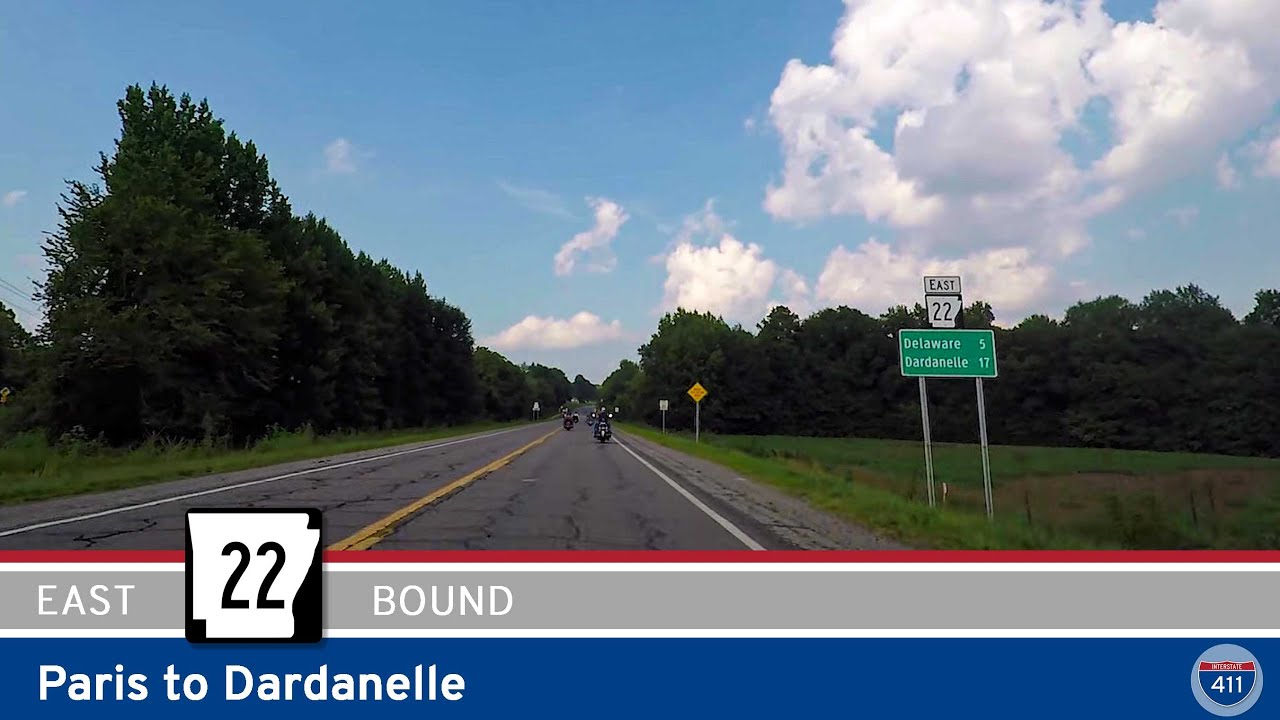
Cruise the True Grit Trail on Arkansas Highway 22 from Paris to Dardanelle. Enjoy farmland, forest, historic towns, and two crossings of scenic Lake Dardanelle on this beautiful 34-mile drive through the Arkansas River Valley.

Cruise east along Arkansas Highway 10 from Williams Junction to Little Rock. This 19-mile stretch offers river valley forests, peaceful lake views at Lake Maumelle, and a smooth transition from rural roads to the urban edge of Arkansas’s capital.
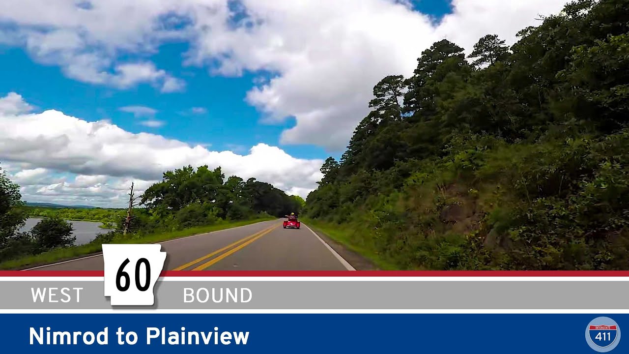
Cruise west along Arkansas Highway 60 from Nimrod to Plainview as we follow the tranquil shoreline of Nimrod Lake and pass through forested backroads and quiet farmland before arriving in historic Plainview. A peaceful 9-mile drive in the heart of Yell County.

Travel 13 miles along Missouri Route 39 from Shell Knob to Carr Lane, featuring a scenic Table Rock Lake crossing, wooded Ozark landscapes, and a peaceful drive through rural Barry County.
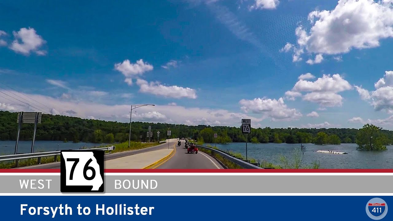
Explore 12 miles of Missouri Route 76 from Forsyth to Hollister, including scenic views, wooded hills, and access to Lake Taneycomo. This route blends quiet Ozark towns with growing Branson suburbs.
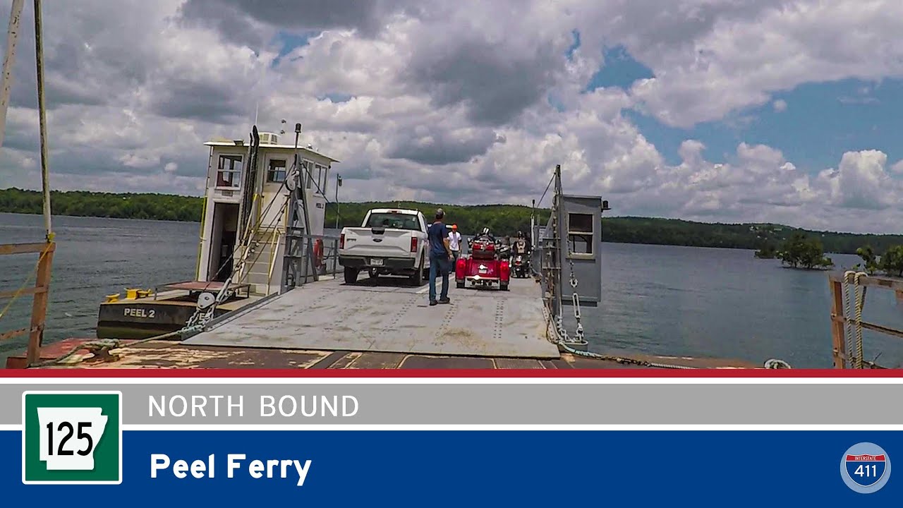
Cross Bull Shoals Lake aboard Arkansas Highway 125’s Peel Ferry — Arkansas’s last public ferry. This unique mile-long crossing delivers scenic views, peaceful waters, and a one-of-a-kind Ozarks driving experience.
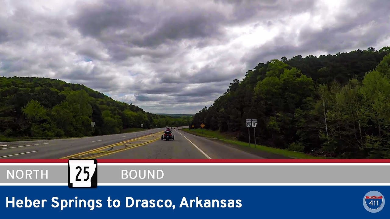
Take a scenic drive along Arkansas Highway 25 from Heber Springs to Drasco, crossing the Greers Ferry Dam and winding through the forests and farmland of north-central Arkansas. Highlights include panoramic lake views, small-town charm, and Ozark mountain scenery.
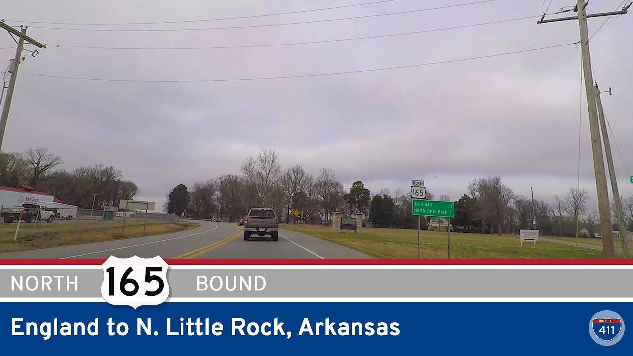
Travel 22 miles north on U.S. Highway 165 from the Delta town of England to North Little Rock, passing through historic Keo and scenic farmland with access to Toltec Mounds and the Plantation Agriculture Museum. A smooth drive into the metro with glimpses of Arkansas’…
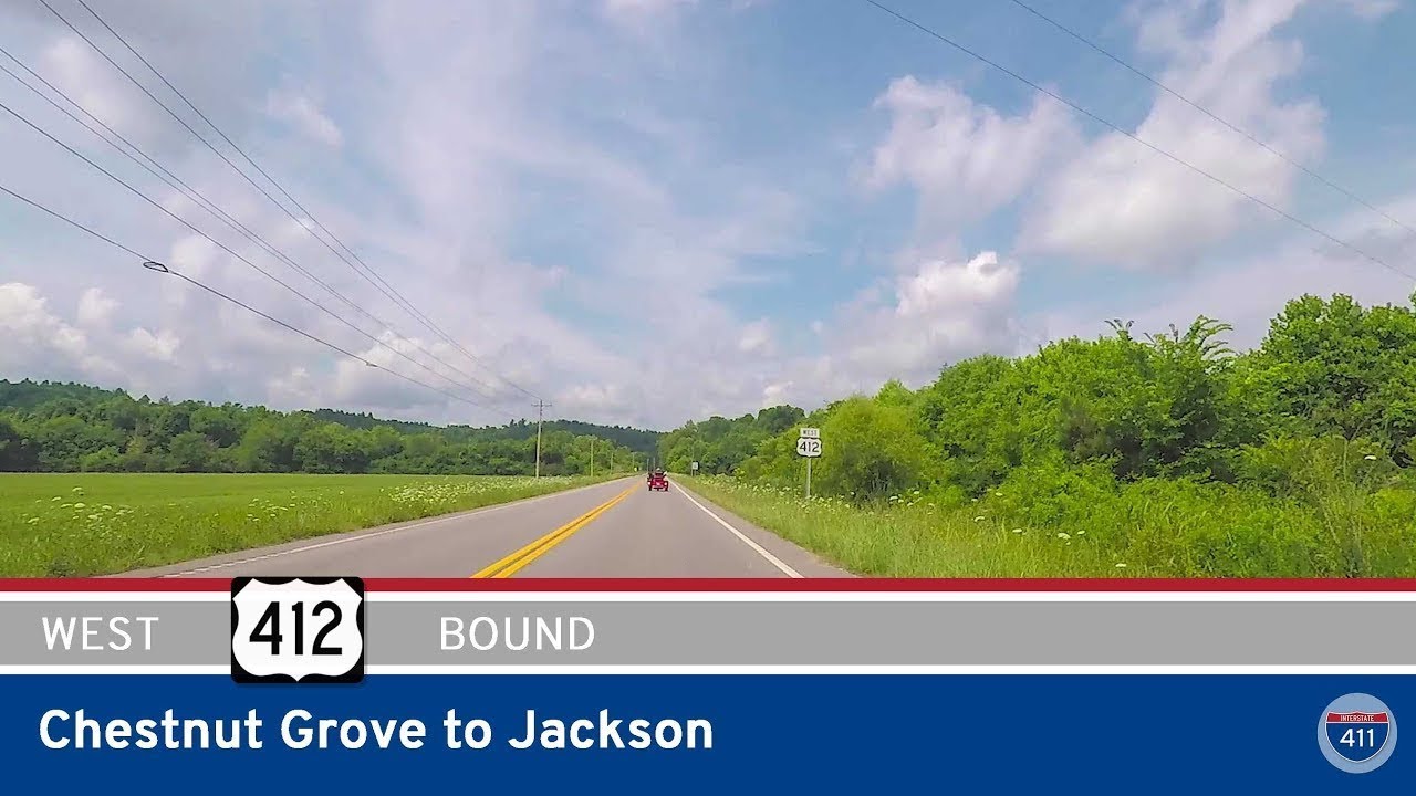
Drive 58 miles across scenic western Tennessee on U.S. Highway 412 from Chestnut Grove to Jackson. Explore historic towns like Linden and Parsons, cross the Tennessee River, and cruise a four-lane highway through forest and farmland to the regional city of Jackson.
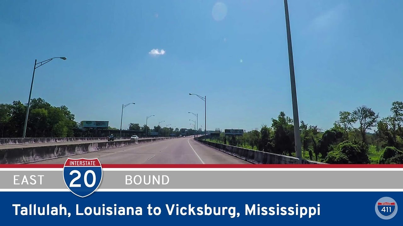
Cruise 19 miles east along I-20 from Tallulah, Louisiana to Vicksburg, Mississippi, crossing the agricultural flatlands of the Mississippi Delta and the iconic Mississippi River into a city rich with Civil War history.
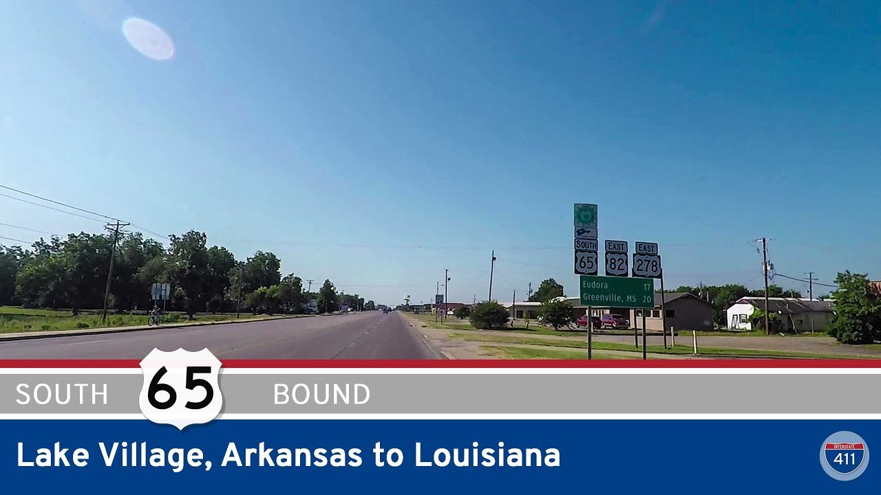
Cruise 25 miles south on U.S. Highway 65 from Lake Village to the Louisiana border, passing Lake Chicot, Eudora, and miles of rich Delta farmland on this scenic drive through southeastern Arkansas.