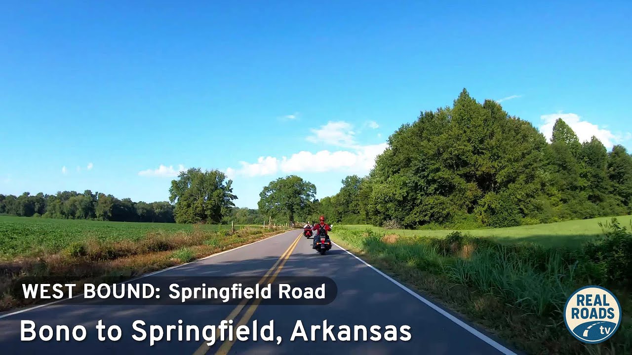
Cruise five scenic miles along County Road 9 from Bono to Springfield, Arkansas. Experience Conway County’s blend of farmland, forest, and rolling Ozark foothills on this tranquil rural backroad connecting AR-285 and AR-92.
Journey through America’s wooded corridors with the Forest tag—featuring routes surrounded by dense trees, state forests, and national park lands.
The 🌲 Forest tag highlights routes that pass through densely wooded areas, national forests, or timber-rich landscapes. These drives are often characterized by towering trees, shaded corridors, and a sense of immersion in nature. Whether it’s a winding mountain road lined with evergreens or a backcountry highway flanked by deciduous woods, the forested environment defines the scenery.
These routes are especially vibrant in autumn, when foliage changes color, or in the spring and summer, when greenery is at its peak. Wildlife sightings, hiking trail access, and picnic areas are common features along many forest-tagged segments.
Cruise five scenic miles along County Road 9 from Bono to Springfield, Arkansas. Experience Conway County’s blend of farmland, forest, and rolling Ozark foothills on this tranquil rural backroad connecting AR-285 and AR-92.
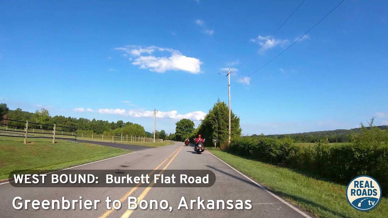
Experience a peaceful 4.6-mile drive along Burkett Flat Road from Greenbrier to Bono, Arkansas. This quiet rural route passes farmland, wooded ridges, and rolling hills in Faulkner County, offering a glimpse of authentic Arkansas countryside.
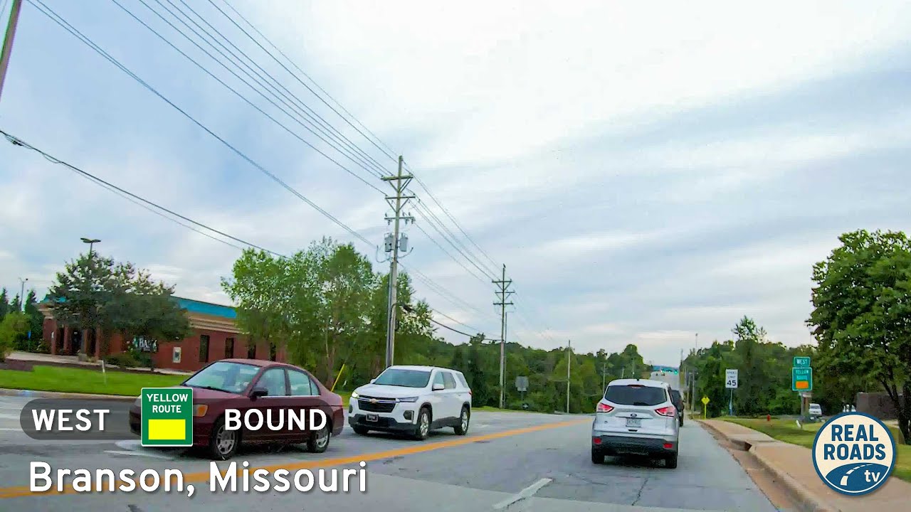
Take a short drive down Branson’s Yellow Route along James F. Epps Road. From Shepherd of the Hills Expressway to Roark Valley Road, this 1.2-mile connector passes schools, shopping, Stockstill Park, and Roark Creek—capturing both the community and scenic side of th…
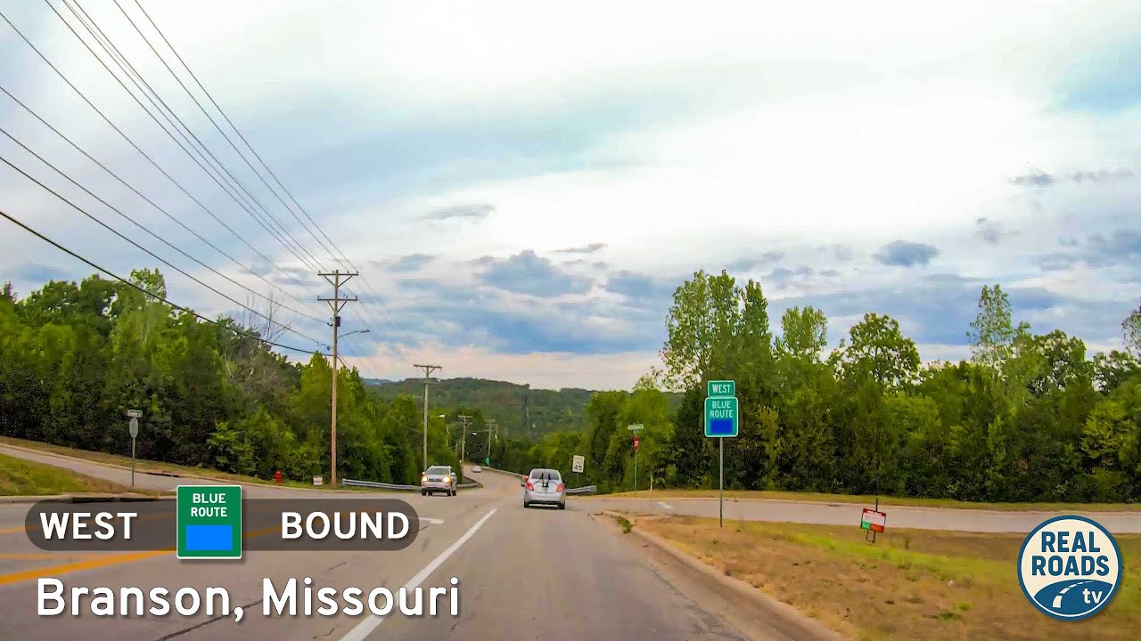
Explore Branson’s 3.5-mile Blue Route, a quick bypass from Roark Valley Road to Gretna Road that blends Ozark scenery with easy access to theaters, shops, and attractions—all without the congestion of 76 Country Boulevard.
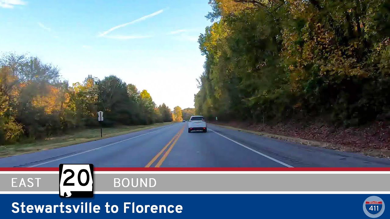
Experience a peaceful 14-mile drive along Alabama Route 20 from Stewartsville to Florence, moving from wooded Natchez Trace landscapes to rolling farmland and the busy urban gateway of the Shoals. A short but scenic look at the Tennessee Valley’s changing terrain.
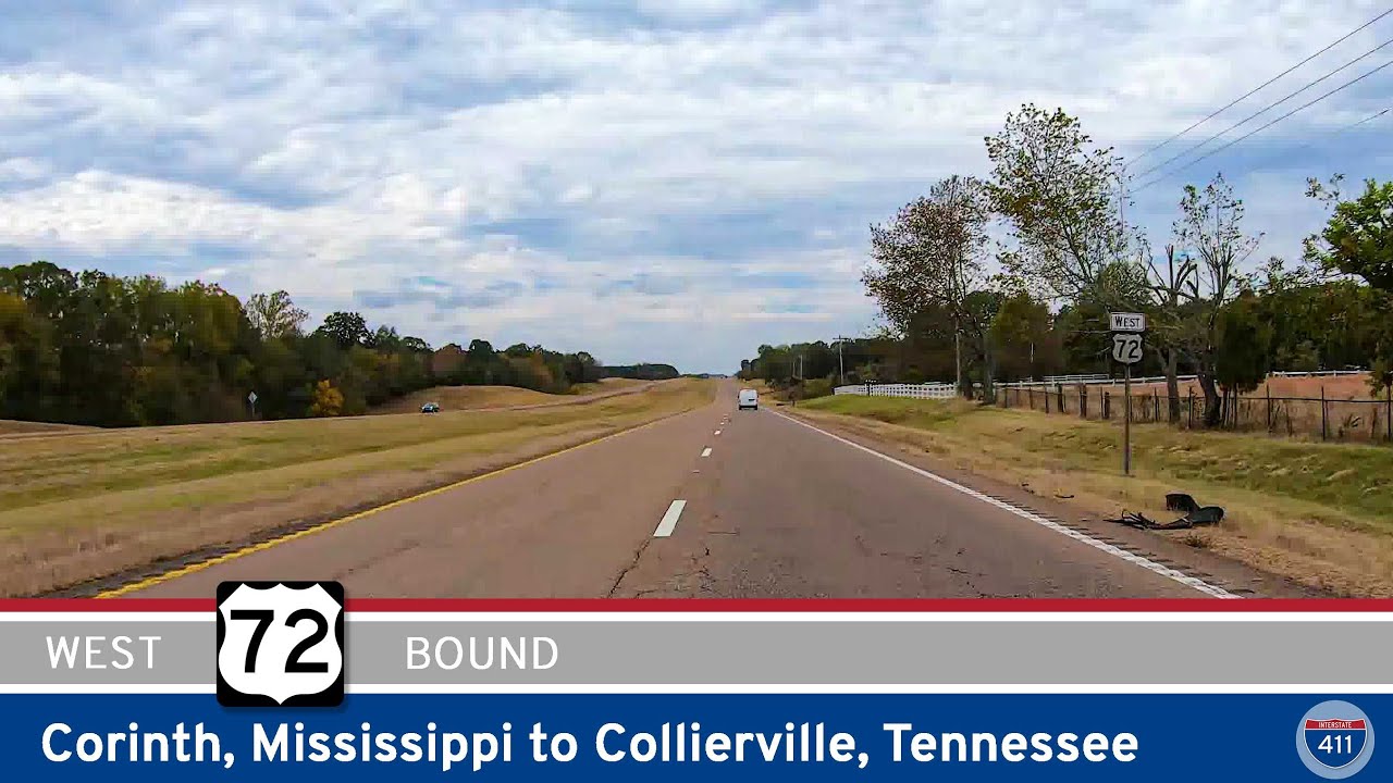
Drive 65 miles west on U.S. Route 72 from Corinth, Mississippi to Collierville, Tennessee, passing farmland, rural communities, and the expanding suburbs of the Memphis metro. A smooth four-lane corridor connecting the Tennessee Valley to the edge of the city.
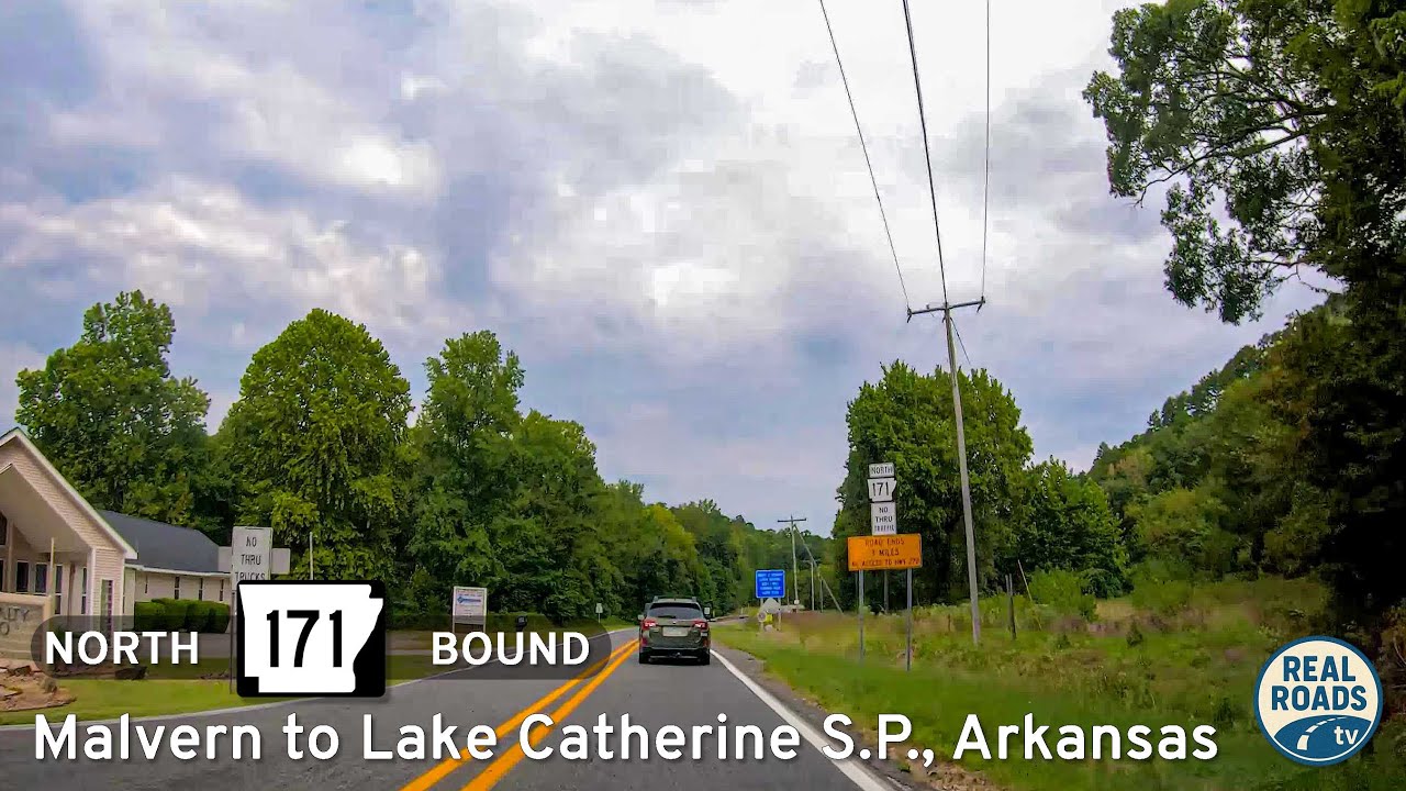
Drive 12 miles along Arkansas Highway 171 from Malvern to Lake Catherine State Park, a scenic route through farmland and forests that connects small-town Arkansas with one of the Ouachitas’ most inviting recreation areas.
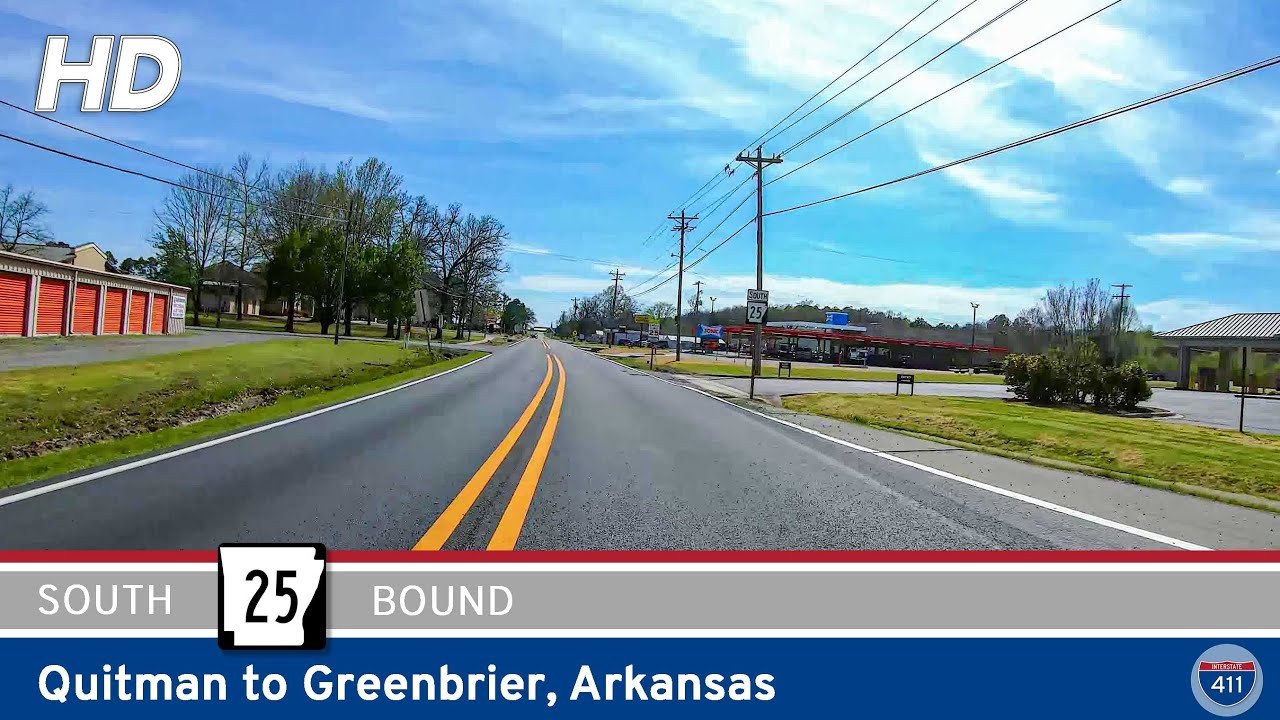
Experience the rolling foothills of central Arkansas on this 14-mile drive along Arkansas Highway 25 from Quitman to Greenbrier. Travel through farmland, wooded ridges, and the small towns of Enders and Guy before reaching U.S. 65 in Greenbrier.
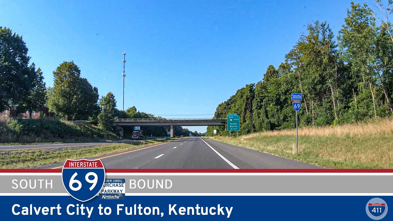
Experience a smooth 51-mile drive along Interstate 69 from Calvert City to Fulton, Kentucky, passing Benton, Mayfield, Wingo, and quiet stretches of western Kentucky farmland. A scenic look at the evolving I-69 corridor through the Jackson Purchase region.
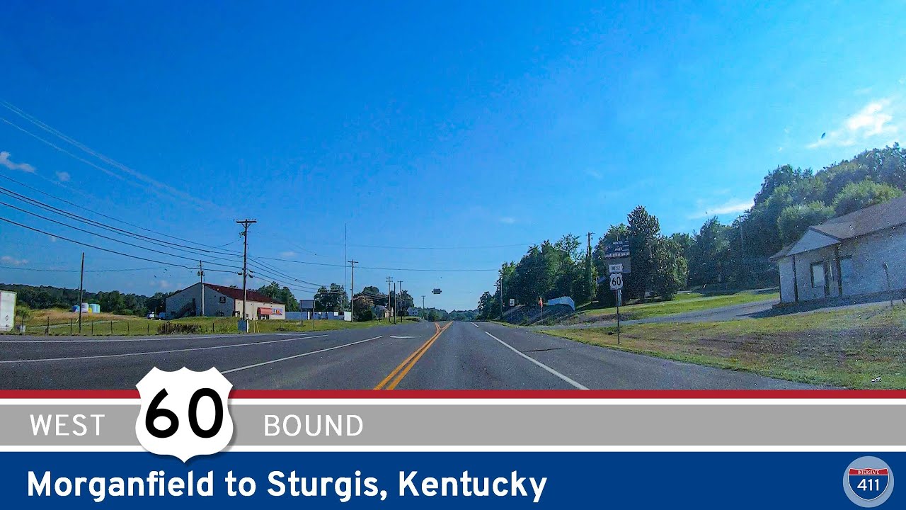
Experience a relaxed 10-mile drive along U.S. Route 60 from Morganfield to Sturgis, Kentucky, passing through rolling farmland, rural landscapes, and small-town history in the heart of Union County.
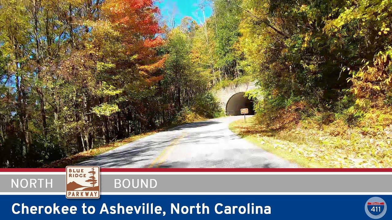
Experience 75 miles of breathtaking mountain scenery on the Blue Ridge Parkway from Cherokee to Asheville. Explore overlooks, waterfalls, and sweeping vistas along one of America’s most iconic scenic drives.
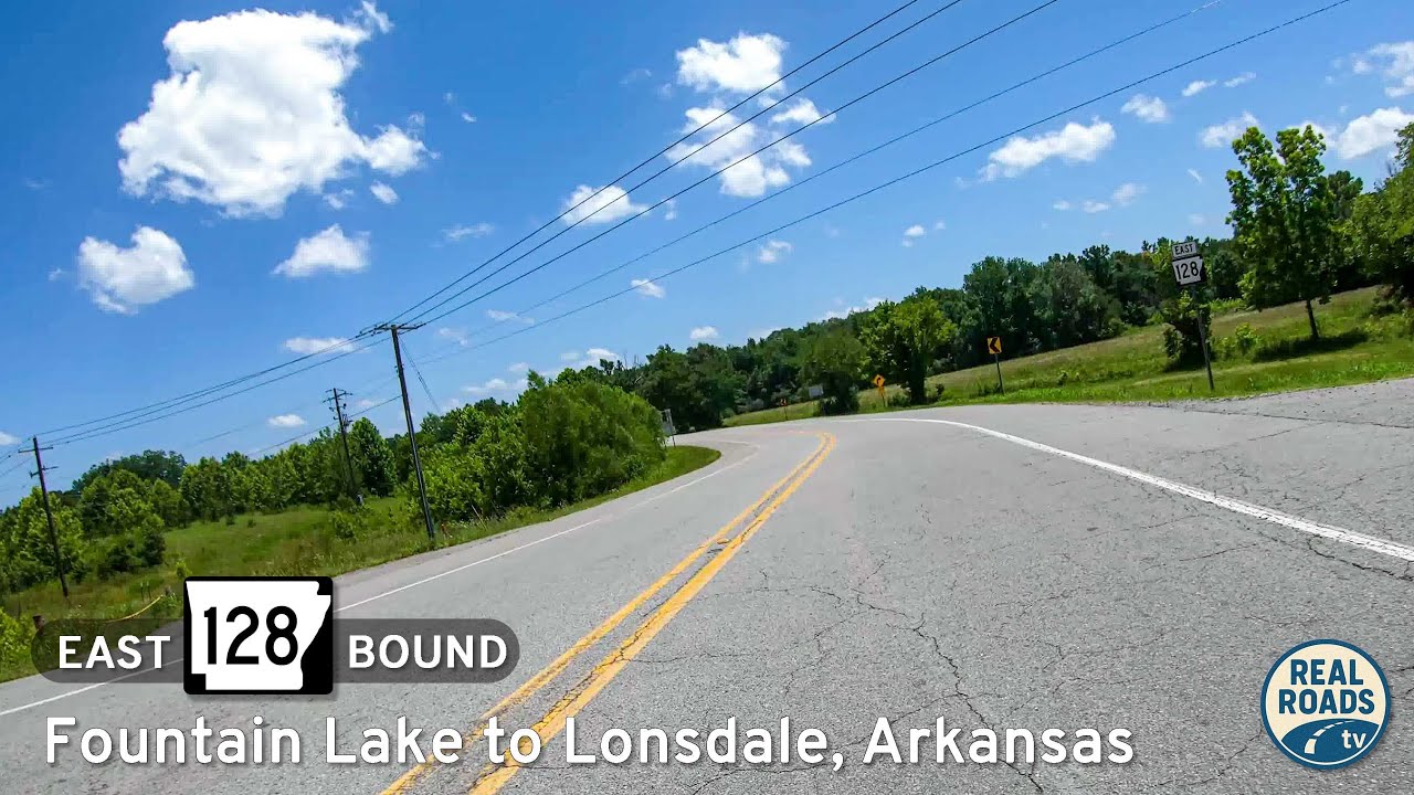
Discover the quiet charm of Arkansas Highway 128, a short connector from Fountain Lake to Lonsdale. This rural drive winds through wooded ridges and farmland, linking Garland and Saline Counties while offering a peaceful alternative to busier highways.