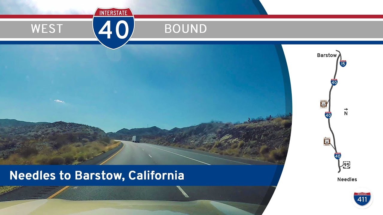
Take a journey through California’s high desert as we follow Interstate 40 from the Arizona state line at Needles to its western terminus in Barstow. This 141-mile stretch of I-40 offers a remote and dramatic ride through sunbaked basins, volcanic rock fields, and the lonely remnants of Route 66, delivering a raw and cinematic experience through the Mojave Desert.
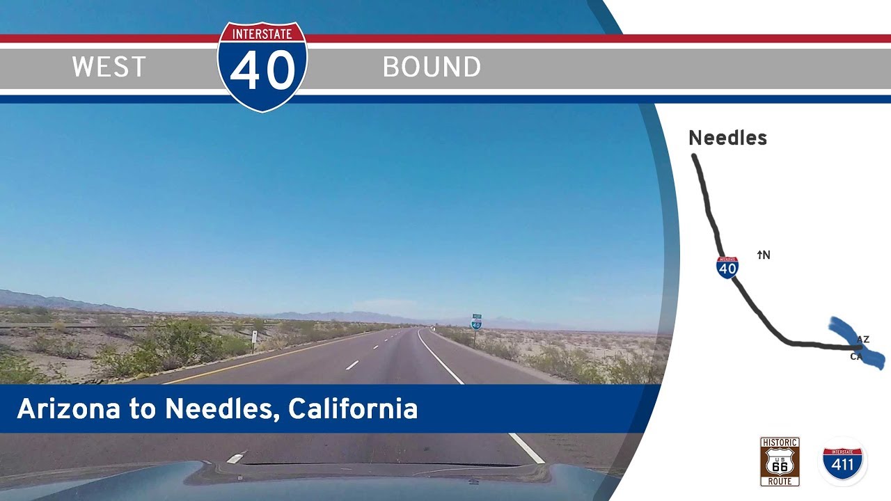
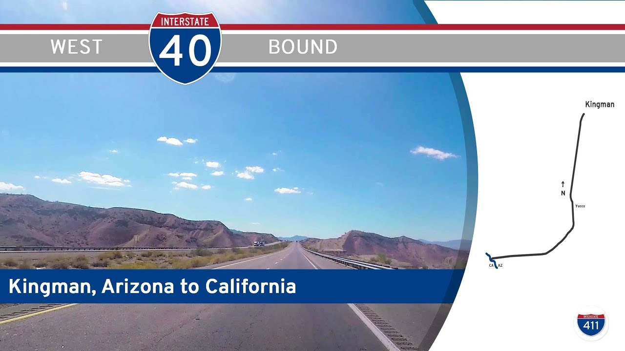
We begin our westward trek by merging onto Interstate 40 from Historic Route 66 in Needles, just a stone’s throw from the Colorado River. Here in Needles, the highway sets the tone early—long, straight lines disappearing into the horizon under an expansive sky. The early part of the drive is defined by its desolate beauty. Desert scrub, rugged hills, and the occasional freight train punctuate the silence. Before long, we pass the interchange with U.S. Highway 95, the route north toward Searchlight and Las Vegas, though we keep heading west, gradually curving toward the sun.
A few miles past the 95, we encounter one of several interchanges with the National Trails Highway, the paved remnant of old Route 66. At the time of filming, this section was closed, a haunting reminder of how time and weather erode even the most iconic roads. Soon, the southern boundary of the Mojave National Preserve looms on our right. While we never enter the preserve proper, its volcanic cones and black lava beds are clearly visible, hinting at the explosive geologic past of this ancient landscape. Windblown and weathered, this segment of I-40 feels like driving across a Martian plain—vast, empty, and strangely captivating.
West of Ludlow, the National Trails Highway rejoins I-40 at exit 50, and the two corridors run side-by-side once again. The terrain here begins to shift subtly. While still desert, the land flattens out and grows lighter in tone as we approach Newberry Springs and Daggett. The volcanic rock gives way to chalky sand and scrub-covered washes. Signs for local date farms and mineral springs hint at the odd oasis-like character of the settlements out here—small, tough communities anchored by water and resilience. Along this stretch, we also pass the Pisgah Crater, a lava field and extinct cinder cone that marks one of California’s more obscure geological landmarks.
As we near Barstow, traffic begins to pick up slightly, and the infrastructure becomes more familiar. Chain hotels, fuel stations, and fast-food signs reappear, drawing us back into the orbit of civilization. Just before the end of the route, I-40 threads its way through the junction with Interstate 15—the heart of Barstow’s highway network. Here, I-40 officially ends its westward course, as travelers continue on toward Los Angeles, Las Vegas, or north to the High Desert. Our video ends at this junction, a symbolic handshake between two major arteries of American road travel.
In many ways, this drive is a meditation on space and time. It’s a route that feels largely unchanged since the interstate was first laid across the desert in the 1960s. With little development, few major exits, and plenty of empty land, it reminds us just how vast and untouched parts of California remain. This isn’t the glittering coast or the forested Sierra Nevada—this is the Mojave, stubborn and sunburnt, a place where the road stretches on endlessly and the silence is only broken by the hum of tires and the occasional hawk overhead.
🗺️ Route Map
0 Comments