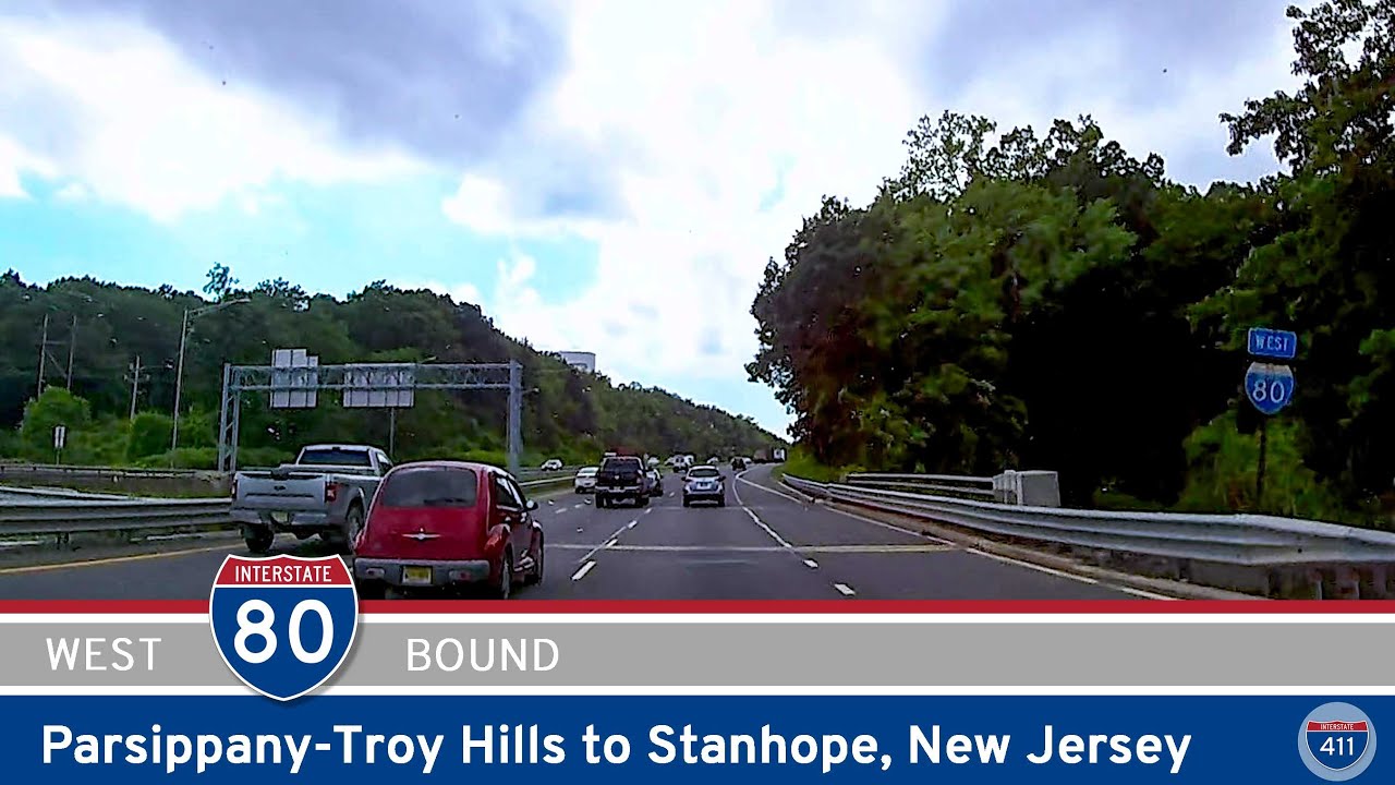
Cruising westward through northern New Jersey, Interstate 80 offers a dynamic mix of suburban rollouts, forested foothills, and a scenic brush with the Delaware River before delivering travelers right to the Pennsylvania state line. On this leg, we pick up I-80 at Stanhope, merging on from U.S. Highway 206, and follow its well-maintained lanes for about 26 miles of classic Northeast interstate travel.
Once we hit the road west of Stanhope, the route quickly leaves behind the busier feel of suburban Sussex County and sweeps us into the rolling ridges of Allamuchy Mountain. Here, I-80 carries the official name Christopher Columbus Highway — a nod you’ll spot on roadside signs as we gain gentle elevation. Allamuchy is worth noting for outdoor lovers; Allamuchy Mountain State Park sits just north of the highway, with hiking trails and hidden fishing spots that make a pleasant stop if you have time to explore beyond the asphalt.
Continuing west, the highway opens up to sweeping views of the Appalachian foothills, especially in the stretches near Hope and Columbia. After Columbia, the road bends northwest, hugging the eastern banks of the Delaware River. This section is a peaceful contrast to the busy interchanges back near Stanhope, and the natural scenery peaks as we approach the Delaware Water Gap — a geologic pass that carves the river right through Kittatinny Mountain. It’s an iconic spot in the region, popular with hikers, kayakers, and road trippers who pause to snap a photo before crossing into Pennsylvania.
We finish this short but diverse journey at the Delaware Water Gap Toll Bridge. Just over the river, we enter Pennsylvania, passing through the toll booths that mark the end of our video but the start of more adventures westward into the Poconos or onward across the Keystone State on I-80’s long transcontinental stretch.
🗺️ Route Map
0 Comments