Take a ride through the desert edge of the Las Vegas Valley as we follow Interstate 11 from Henderson, Nevada to the Arizona state line, tracing a modern bypass of Boulder City that skirts the mountains and offers wide-open views of Lake Mead and the Colorado River. This 16-mile stretch is more than just a quick jump across the state line—it’s a fascinating mix of new infrastructure, stark desert scenery, and historical proximity, with the legendary Hoover Dam just a stone’s throw away.
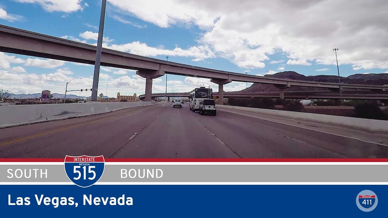
We begin our journey heading south on Interstate 515, just as it transitions into Interstate 11 near Henderson. As the urban edges of Las Vegas give way to sparser desert, the traffic thins out and the landscape opens wide. The mountains loom to the southeast, shadowing the desert scrub and power lines that mark this growing corridor. Not far ahead, we pass the Railroad Pass Casino, one of Nevada’s oldest continuously operating casinos and a local fixture since the early 1930s. Nestled near the mouth of a narrow mountain pass, it’s a last-call beacon for travelers heading south toward Arizona—or first stop for those returning north toward Vegas.
The highway bends eastward, climbing slightly as we approach the interchange with U.S. Highway 95, a crucial north-south route in its own right. This junction marks a significant point in the corridor: the start of the Boulder City Bypass, which officially opened in 2018 and transformed regional traffic patterns. Prior to this, travelers to Arizona had to descend through the heart of Boulder City—an often slow, congested route. Now, Interstate 11 skirts the city’s southern edge, cutting a more efficient path through the desert hills, where the Mojave sun bakes the red rock terrain and creosote bushes sway gently in the arid breeze.
As we crest a ridge and descend toward the lake basin, a beautifully designed scenic overlook and rest area offers a panoramic view across the western edge of Lake Mead National Recreation Area. On clear days, the water’s edge glints beneath the mountains—an oasis framed by miles of unforgiving rock. This rest area isn’t just a break from driving—it’s a place to reflect on the grandeur and human effort that shaped this region, with the nearby Hoover Dam having transformed the Southwest’s future when completed in 1936. A few informational plaques help orient the visitor to the geography, history, and engineering marvels all around.
Back on the road, the descent into the Colorado River valley begins in earnest. The mountains close in again as we pass through cuts blasted into solid rock, guiding us toward the Mike O’Callaghan–Pat Tillman Memorial Bridge. Though we don’t drive on the Hoover Dam as travelers once did, the bridge offers a high-speed alternative just west of the historic structure—and a clear view, if you know where to look. As we cross into Arizona, the clock jumps ahead an hour (for most of the year) as we leave Pacific Time and enter Mountain Standard Time. Shortly afterward, Interstate 11 ends, and we merge seamlessly onto U.S. Route 93, continuing the journey southeast through the Detrital Valley.
In just 16 miles, this segment encapsulates so much: Nevada’s rapid urban sprawl, the engineering marvel of modern freeways, the bypassing of historic bottlenecks, and the stark natural beauty of the American Southwest. While short in distance, it marks a literal and symbolic passage—from city to solitude, from old routes to new, from state to state and time zone to time zone.
🗺️ Route Map
0 Comments