Take a front-row seat as we roll east for 23 miles along Interstate 30 through the heart of Fort Worth, Texas, tracing one of the key corridors connecting the western Metroplex with downtown and beyond. This stretch of I-30 gives us a close-up look at the western side of the DFW metro, cutting through neighborhoods, urban infrastructure, and some iconic sights of the city.
Our journey begins at the western terminus of I-30 where it branches off from Interstate 20, just west of Fort Worth proper. This area feels a bit more suburban, with broad ramps and long sightlines as we approach the first major interchange at Interstate 820. This loop encircles Fort Worth and gives traffic the option to bypass the inner city, but we’re headed right into the heart of it. As we move east, neighborhoods like Westover Hills and Como flank the highway, offering glimpses of residential Fort Worth before the skyline starts to rise in the distance.
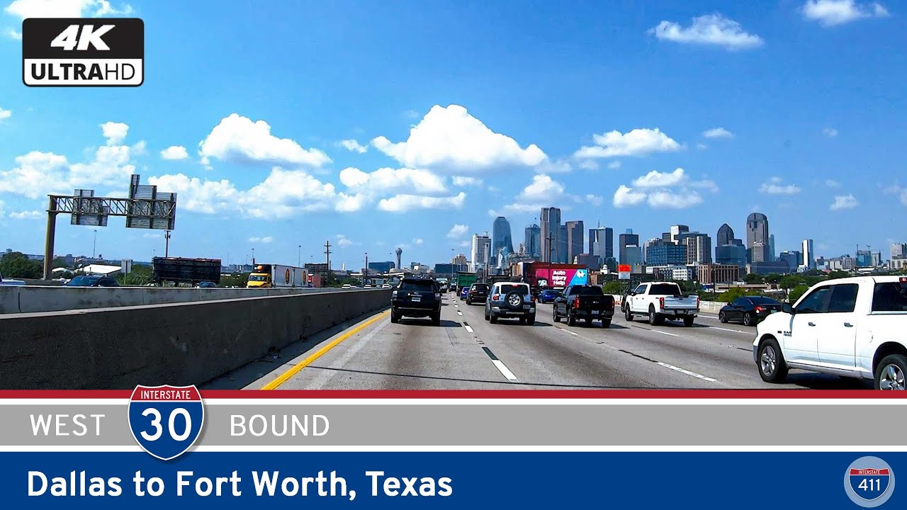
Continuing east, we pass under U.S. Route 377 (Camp Bowie Boulevard) and the Chisholm Trail Parkway, both important connectors for local traffic. This section of I-30 starts to feel more urban as we transition into the core of the city. The highway bends slightly northeast as we approach downtown, with TX-199 (Henderson Street) marking the gateway into the central business district. The Fort Worth skyline—featuring the Modern Art Museum, Sundance Square, and the iconic Burnett Plaza—comes into view here, giving travelers a classic urban panorama right from the road.
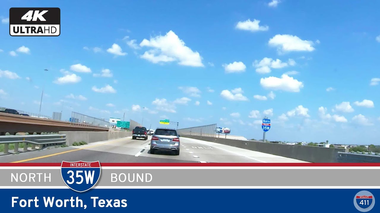
Once in downtown Fort Worth, the highway gets tighter, with more interchanges packed into a short space. One of the busiest is Interstate 35W, which runs north-south and intersects I-30 right at the heart of the city. From here, we start climbing slightly out of downtown as I-30 stretches eastward again. Not long after, we pass the U.S. Route 287 interchange, a connector to both northbound industrial zones and southbound neighborhoods.
Heading into East Fort Worth, the surroundings start to open up again. You’ll notice more commercial development, schools, and green spaces—particularly near Tandy Hills Natural Area and Oakland Lake Park. This part of the route feels transitional, moving from urban density toward the more expansive landscape between Fort Worth and Dallas. Our drive wraps up at the eastern interchange with Interstate 820, completing a near-semicircle around the city and marking the end of this Fort Worth-focused segment of Interstate 30.
This drive isn’t just a connector—it’s a great look at the diversity of Fort Worth. From its historic downtown to its sprawling residential districts and ever-expanding freeway network, I-30 shows off the complexity and character of this major Texas city.
Original videos of this segment:
🎵 Music: Track List
0 Comments